Once in the app, please zoom in to see the individual county sheets, this can be done by double clicking twice on the county desired or using the mouse wheel.
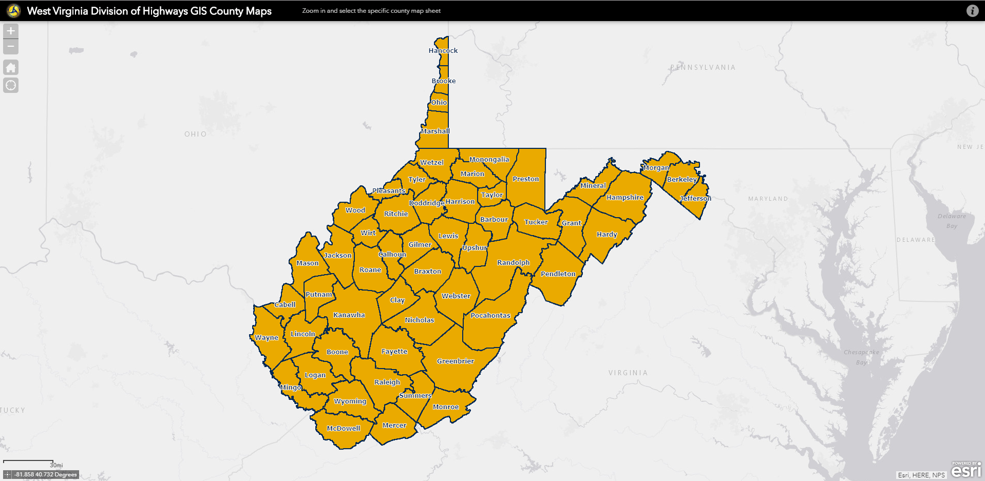
Click the image to open the WVDOT GIS County Maps app
For questions or comments, please contact us at
GPHelpDesk@wv.gov.
West Virginia County General Highway Maps
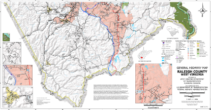
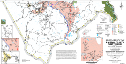
Maps are offered in 2 styles (Hillshade and Non-hillshade) and 2 file formats (PDF and
GeoTIFF). Examples are shown below. Hillshade maps (top) have shaded relief to show contours. Non-hillshade maps (bottom) have a plain white background.
PDF Alphabetical Listing of County Maps with Hillshade
PDF Alphabetical Listing of County Maps without Hillshade
GeoTIFF Alphabetical Listing of County Maps with Hillshade
GeoTIFF Alphabetical Listing of County Maps without Hillshade