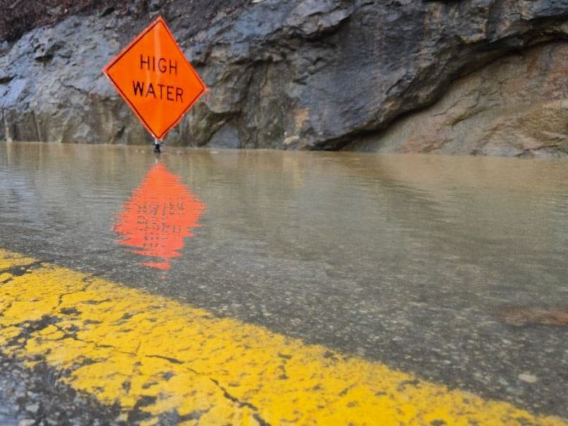
West Virginia Department of Transportation (WVDOT) road crews are operating continuously to clear mudslides, manage debris, and assess structural infrastructure damage following severe thunderstorms that swept through the state on Wednesday, February 5, and Thursday, February 6, 2025.
In response to the severe weather system, Governor Patrick Morrisey declared a statewide State of Preparedness for all 55 counties, remaining in effect through Friday, February 7, 2025.
Current Status of Major Traffic Routes
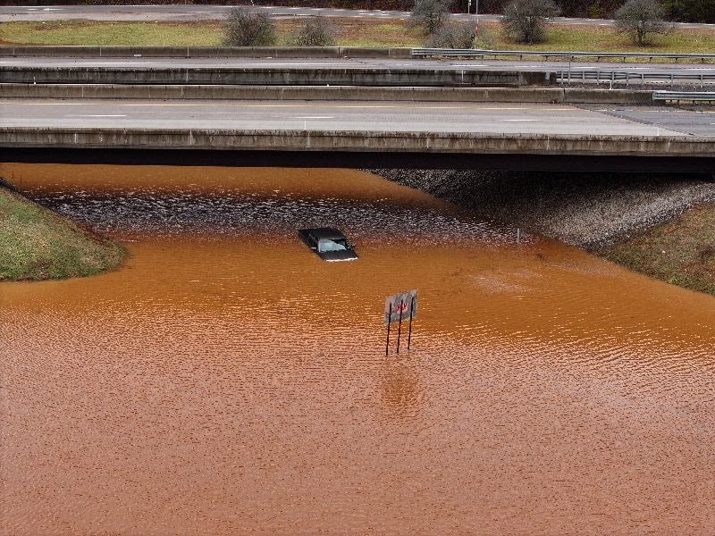
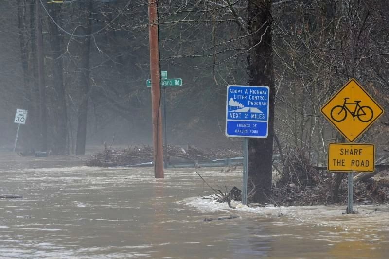
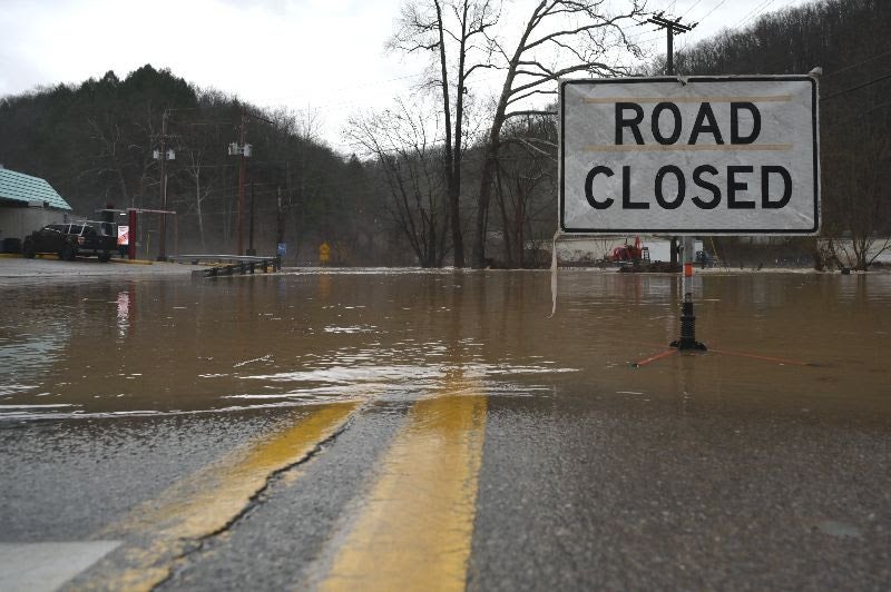
Heavy rainfall triggered localized flooding, rockfalls, and mudslides. The West Virginia Division of Highways (WVDOH) is actively clearing blockages where safe, though full infrastructure assessments in many areas must wait until high water recedes.
| Route & Location | Current Condition / Traffic Impact | Action Taken |
|---|---|---|
| US 50 Ritchie County | Blocked / Closed to through traffic | Crews clearing rockslide; traffic detoured onto Glendale Road. |
| US 119 Roane County | Partially Open (One lane restricted) | Crews on-site managing mudslide debris removal. |
| WV 2 Jackson County | Open | Slide successfully cleared by WVDOH road crews. |
Regional Weather Impacts
Western, Southern, and Central West Virginia
According to WVDOH Chief Engineer of Operations Jake Bumgarner, P.E., these regions sustained the heaviest rainfall. High water closed numerous low-lying corridors, and saturated hillsides resulted in multiple rolling earth slides.
- District 3 (Calhoun, Jackson, Pleasants, Ritchie, Roane, Wirt, and Wood counties): Heavily impacted by high water. District Manager Mike Daley noted that new road closures were continually being added to the monitoring list throughout the day.
- District 1 (Kanawha Valley and Huntington-Charleston corridor): Experienced intense localized flash flooding. District Manager Stefan White reported Kanawha County as one of the hardest-hit zones, specifically highlighting severe impacts in Chelyan, Elkview, and North Charleston.
Mountains and Eastern Panhandle
The primary hazard in higher elevations shifted from flooding to heavy icing. Maintenance teams successfully mitigated widespread travel issues by pretreating targeted roads with brine solution ahead of the storm's arrival.
Counties Reporting Road Closures
Sustained high water caused temporary road closures across the state, with severe impacts reported across 18 counties on Thursday, including:
- Boone
- Cabell
- Calhoun
- Clay
- Fayette
- Kanawha
- Lincoln
- Logan
- Mason
- Morgan
- Nicholas
- Putnam
- Randolph
- Ritchie
- Roane
- Wirt
- Wood
Weekend Outlook and Safety Advisory
An additional weather system delivering heavy rain, snow, and ice is forecast to move through the state over the weekend, with substantial snow accumulations possible in designated areas.
Official Directive: Governor Morrisey and the West Virginia Emergency Management Division (WVEMD) urge all residents to remain highly attentive to changing weather conditions via local media reports and strictly adhere to all safety instructions issued by emergency personnel.