(OPEN TO TRAFFIC)
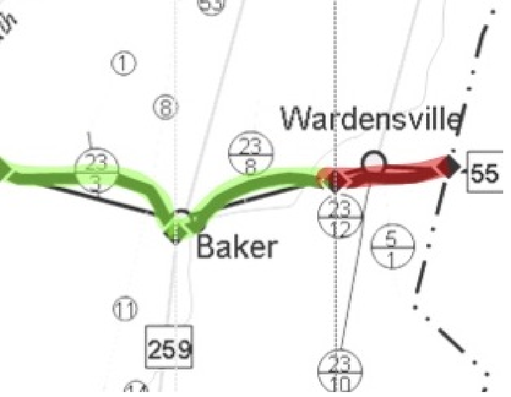
With the completion of the Lost River Bridge at McCauley, a 6.7-mile section through Hardy County, connecting Baker to Wardensville, was opened to traffic on October 20, 2006.

This map is not to scale nor is it an accurate geographic representation of the area. This graphic is for planning and public information purposes only. Distances area approximated to the nearest alignment point.
The above graphic is a portion of the whole map. Please click here to view the entire map at full-size (135k).
If you would like a very detailed description of a certain area, please contact us and we will be happy to provide you with that information.